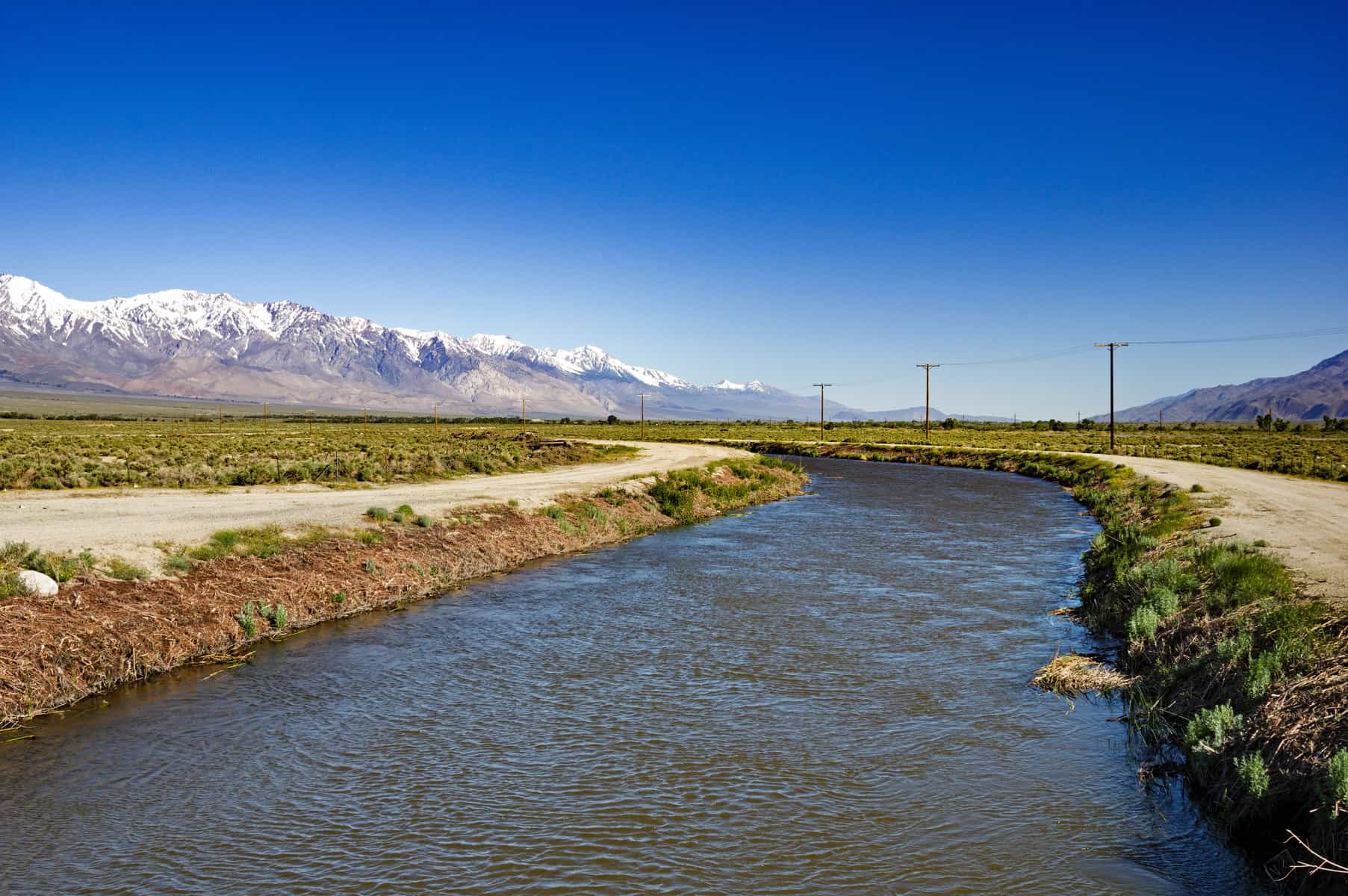
To overcome water scarcity in the southern part of the state and to increase agricultural production through the twentieth century, an intricate water infrastructure grew across the state of California. Different federal, state, and municipal agencies built and maintain a network of reservoirs, aqueducts, canals, pumping stations, and power plants to transport water from water-rich to water-poor regions. For example, the State Water Project moves water from rivers in Northern California all the way to the San Diego Aqueduct under the supervision of the California Department of Water Resources. The total length of the pipeline infrastructure is about 1,100 kilometers (km) (700 miles), including the world's largest water pumps at the Edmondson Pumping Plant that lift water 600 meters (2,000 feet) over the Tehachapi Mountains.
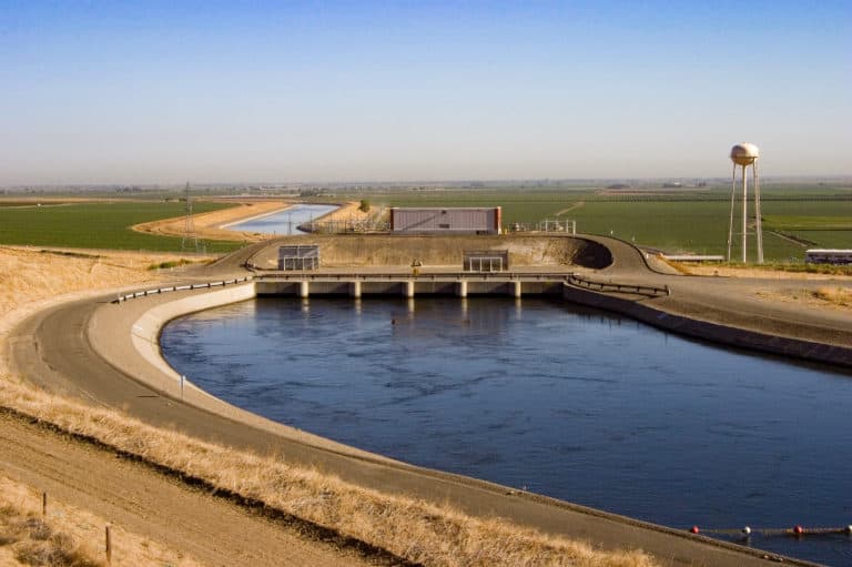
Over 25 million people receive access to clean freshwater through this project, which consumes 5.1 terawatt-hours (TWh) each year, between 2% and 3% of the entire state’s electricity capacity.1Ronnie Cohen, Barry Nelson, and Gary Wolff, Energy Down The Drain: The Hidden Costs of California’s Water Supply (Oakland: National Resources Defense Council and Pacific Institute, 2004). The State Water Project shares many facilities with the Central Valley Project, which alone has about 800 km (500 miles) of canals. Transporting the water consumes 1 TWh annually, but 11 hydroelectric power plants in the system harness electricity from the snowmelt. Additionally, the Metropolitan Water District of Southern California operates the Colorado River Aqueduct, which transports water from Lake Havasu on the Arizona-California border to the Santa Ana Mountains for the Los Angeles and San Diego metropolitan areas.

Although many people benefit from the improved infrastructure, the projects remain a source of contention within California. For example, the Central Valley Project ended salmon migration in the Sacramento, American, and Stanislaus Rivers.2John Williams, “Appendix A: Major Salmon Streams,” San Francisco Estuary and Watershed Science 4 (2006). Also, many agricultural operations made possible by irrigation increase stress on the already strained system. For example, tree nut production consumes 4 liters (1.1 gallons) per nut grown.3Erin Brodwin and Samantha Lee, “Chart shows how some of your favorite foods could be making California's drought worse,” Business Insider, April 8, 2015, accessed August 30, 2016, link.
Image Credits: Tom/stock.adobe.com; Aaron Kohr/Shutterstock.com.
Update your browser to view this website correctly.Update my browser now

